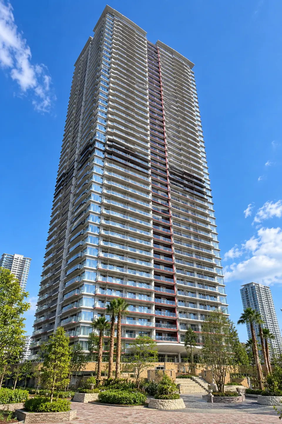
PARK TOWER HARUMI: 18 floors, 3LDK, 78.6㎡, South-facing unit details. Listed rental: JPY 380,000/month. Compare the price per tsubo within the building.
View Simulator Members only
Illustrative image; actual views will differ
Members only · Free registration
See the city from the floor you are considering.
Explore the view from a floor and direction of interest in a 3D cityscape.
Currently listed units in the same building and units confirmed as removed during the most recent 30 days with complete daily collection are shown with floor on the horizontal axis and Price per Tsubo on the vertical axis. All values are the last confirmed asking price or rent, not transaction prices.
For rent yen/tsubo/month
Active listings 14Units / Past 30 — listing ended 3Units
Active ListingsPrice Revision(Previous → Current)Past 30 — listing endedThis Unit
Floor 10, 14,763.66 yen/tsubo/month, 71.65㎡, 3LDK, North Orientation
4,466 JPY/m²/month
24 ¥10,000/month
Floor 11, 18,310.77 yen/tsubo/month, 43.33㎡, 1LDK, North Orientation
5,539 JPY/m²/month
42 ¥10,000/month
Floor 19, 17,666.14 yen/tsubo/month, 78.59㎡, 3LDK, East Orientation
5,344 JPY/m²/month
56 ¥10,000/month
Floor 20, 22,562.02 yen/tsubo/month, 82.05㎡, 2LDK, West Orientation
6,825 JPY/m²/month
37.5 ¥10,000/month
Floor 23, 15,758.7 yen/tsubo/month, 78.67㎡, 2LDK, South Orientation
4,767 JPY/m²/month
33 ¥10,000/month
Floor 25, 14,882.67 yen/tsubo/month, 73.3㎡, 3LDK, North Orientation
4,502 JPY/m²/month
40 ¥10,000/month
Floor 29, 18,578.54 yen/tsubo/month, 71.17㎡, 2LDK, West Orientation
5,620 JPY/m²/month
49.8 ¥10,000/month
Floor 30, 20,165.32 yen/tsubo/month, 81.64㎡, 2LDK, East Orientation
6,100 JPY/m²/month
22 ¥10,000/month
Floor 34, 16,138.87 yen/tsubo/month, 45.06㎡, 1LDK, North Orientation
4,882 JPY/m²/month
38 ¥10,000/month
Floor 35, 18,360.36 yen/tsubo/month, 68.42㎡, 3LDK, North Orientation
5,554 JPY/m²/month
40 ¥10,000/month
Floor 38, 18,515.73 yen/tsubo/month, 71.42㎡, 3LDK, West Orientation
5,601 JPY/m²/month
35 ¥10,000/month
Floor 42, 16,674.4 yen/tsubo/month, 69.39㎡, 3LDK, East Orientation
5,044 JPY/m²/month
24.8 ¥10,000/month
Floor 42, 19,276.06 yen/tsubo/month, 42.53㎡, 1LDK, North Orientation
5,831 JPY/m²/month
38 ¥10,000/month
Floor 18, 15,983.49 yen/tsubo/month, 78.59㎡, 3LDK, This Unit, South Orientation
4,835 JPY/m²/month
Tap a point to see a unit summary and a link to the unit page or listing history here.
Units on the same floor with the same unit price are grouped into one point showing the unit count. Differences in size, layout, orientation, and other features also affect the unit price.Rent is monthly and excludes management and other fees.
The total security deposit and key money is 800,000yen。
All amounts are stated in the public listing. Brokerage fees, guarantee fees, fire insurance, lock replacement, and advance rent are excluded because they cannot be determined from the listing.
Management Fee comparison within the building
This unit: 20,000yen
Building13unit median is24,000yen, a difference of-4,000yen。
Estimated listing period
40 days or moreearliest confirmed date ·2026-09-12
See how nearby land is valued. Use the map to check each location and explore prices and their changes.
Official Land Prices · 2026 as of January 1 · Nearby3Location
Indicative nearby land value707.3 ¥10,000/tsubo214.0¥10,000/m²
Average weighted more heavily toward nearer points
Change from previous year10.2 %
Compared with the same points one year earlier · 3Location
5-year annual average4.9 %
Five-year change converted to an annual rate · 3Location
Commercial land · Residential land in 3 reference points used.Prices for each point are listed below. 472.7〜991.7 ¥10,000/tsubo。Compare locations and land uses on the map to understand the average.
This is the assessed value per tsubo of land (1 tsubo = 3.30579㎡).This does not represent the unit's price or rent, or the assessed value of the building's site. The same land-value information is shown for every unit in the building.
Loading map. Point locations and prices are also available in the list.
buildings This building1 Official land pricesRef. 1 Reference survey
Select a number to view point details. Lines and distances from the building are straight-line measurements.
Official land prices 2026YearJanuary 1
1005-052Commercial land
Official survey location: 35.655918, 139.783928
661.2 ¥10,000/tsubo200.0¥10,000/m²From building 383 m
Year-on-year 4.2%5-year annual average 0.5%
2005-017Commercial land
Official survey location: 35.657276, 139.794431
991.7 ¥10,000/tsubo300.0¥10,000/m²From building 591 m
Year-on-year 17.2%5-year annual average 8.9%
3000-001Residential land
Official survey location: 35.661816, 139.783610
472.7 ¥10,000/tsubo143.0¥10,000/m²From building 650 m
Year-on-year 12.6%5-year annual average 8.1%
Reference: Prefectural Land Price Survey · 3Location
Prefectural Land-Price Survey 2025YearJuly 1
Because the survey date and locations differ, these values are excluded from the official land-price average above.
Ref. 1005-024Commercial land
Official survey location: 35.655475, 139.779864
532.2 ¥10,000/tsubo161.0¥10,000/m²From building 748 m
Year-on-year 4.5%5-year annual average 1.4%
Ref. 2005-002Commercial land
Official survey location: 35.662713, 139.782089
1,041.3 ¥10,000/tsubo315.0¥10,000/m²From building 813 m
Year-on-year 22.1%5-year annual average 7.1%
Ref. 3000-002Residential land
Official survey location: 35.662884, 139.778017
611.6 ¥10,000/tsubo185.0¥10,000/m²From building 1099 m
Year-on-year 14.9%5-year annual average 7.3%
How has the nearest point's price changed?
Location1(005-052) over time. Unlike the “Indicative nearby land value” above, this tracks one consistent point.
Land-price trend at location 1
¥10,000/tsubo
Endpoint: 661.2 ¥10,000/tsuboTrace or tap the chart, or focus it and use the left and right arrow keys to inspect values.View annual prices in a table
Year
Price (¥10,000/tsubo)
2017
512.4
2018
548.8
2019
601.7
2020
661.2
2021
644.6
2022
631.4
2023
634.7
2024
634.7
2025
634.7
2026
661.2
How to Read the Figures, Calculation Method, and Sources
Indicative nearby land value
Prices for the listed points are weighted by the inverse of each point's stored distance from the building. For points with verified coordinates, map and list distances are straight-line measurements from the building's current coordinates. If those coordinates were updated, they may differ from the distances used in the calculation. This is not a site valuation adjusted for land use or road conditions.
Change from previous year
Year-on-year changes at the same locations are weighted by distance. “—” means no comparable value is available.
5-year annual average (CAGR)
This converts the change since five years ago into an annual rate, assuming the same rate each year. It is not the total five-year increase. Only comparable points are weighted by distance.
Official land prices: search radius 2,000 m, 3locations.